The Park
- LVIAs
- ZTV Assessments

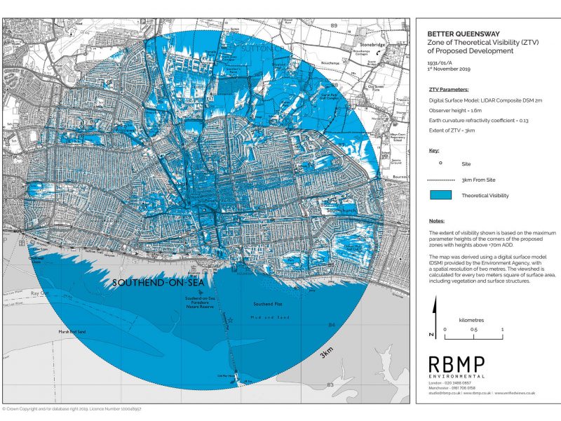
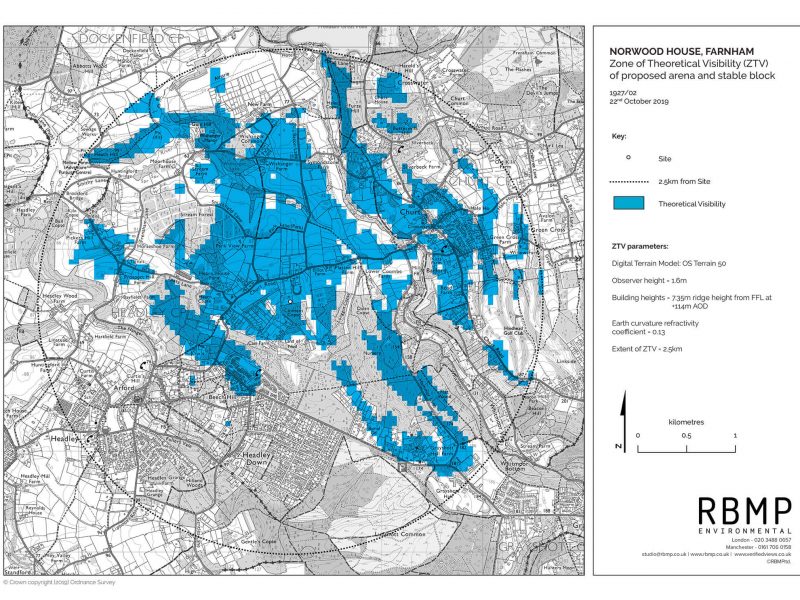
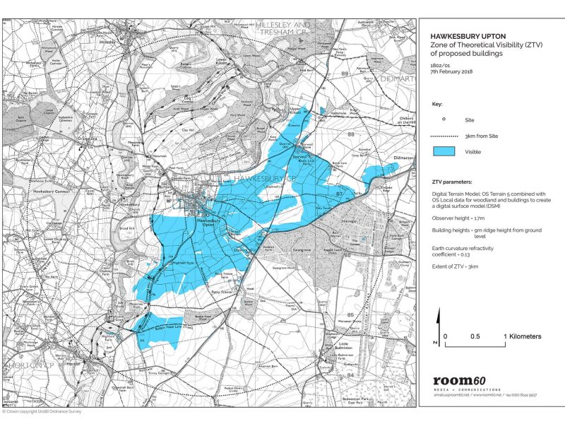
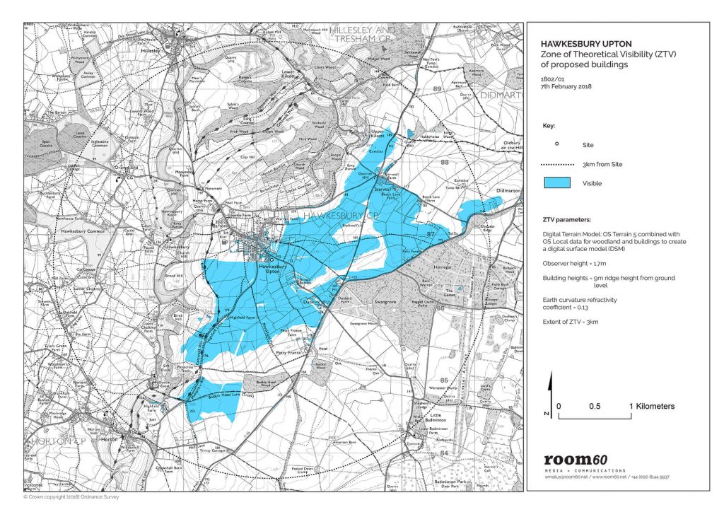
Rbmp prepared a Digital Surface model Zone of Theoretical Visibility (ZTV) assessment to visualise how the proposed two-storey dwelling might be seen from the surrounding countryside and the impact it would have on the rural landscape.
OS Terrain 5 data was combined with OS Open Map data to determine elevation information for buildings and woodland. A colour coded plan was produced showing areas of visibility and non-visibility from the surrounding area in order to assist with the planning application.
Get in touch with rbmp today, we are here to help